Work
Cumulative effects silk-screening
I am deeply interested in cumulative effects of industrial disturbances from both a scientific and cultural perspective. Thinking about the interconnectedness of anthropogenic and environmental factors over time and space is challenging. I've been exploring using the act of silk-screening as a way to emulate changing environments. This is work in progress.
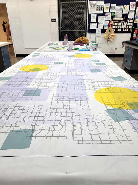

Photo credit: Amanda Yeoman
0.5km2
0.5km2 is a project that explores the area around cSPACE at the old King Edward School. Through the use of locally foraged plant material, rusted items, and community graffiti, this collection of works explores alternative cartographies and record keeping, investigating and materializing places of interest that are absent from data repositories and traditional maps. The aim of this work is to encourage people to navigate their own spaces and journeys with a new intention.
This project was generously supported through the Calgary Allied Arts Foundation Residency for Emerging Artists.


ecoprint samples
Cotton fabric + found iron for mordant, foraged plant material.
These two pieces are a sample of the ecoprints from the 0.5m2 project using fallen oak leaves from South Calgary Park, and rose trimmings salvaged from a compost bin at cSPACE.
South Calgary Rust Mapping
Cotton fabric + found rust material, embroidery thread
The iron for these prints was collected in the roads, parks, and alleyways of South Calgary on the streets immediately surrounding cSPACE. The geographic coordinates, latitude and longitude, were recorded for each found object. These were then used to create a map of discarded metal objects on fabric through the imprints of rust and cloth.

P-T reflections from the Anthropocene/The species we never knew
Cotton fabric + thread
The Permian-Triassic (P-T) extinction event marks the boundary between the Paleozoic and Mesozoic eras. Also known as the ‘Great Dying’, scientists estimate that up to 96% of oceanic species became extinct. While the exact cause remains unknown, multiple contributing factors led to rising atmospheric carbon dioxide and global temperatures. This data visualization is intended to reflect upon this geologic boundary through textile work. The background of this data visualization is machine-stitched in patters representing oceanic rock strata across the two time periods. A red line separates the Permian and Triassic periods. Leading to this boundary are 100 hand-stitched lines representing oceanic species. Four lines - four percent of oceanic species make it across this threshold.


Troubling the Pixel
These pieces are centered around my remote sensing research in the boreal forest. This research used satellite technology to assess forest recovery. Interwoven with my scientific practice I used textile-based research methods to complicate, investigate, and understand relationnships between the landscape, technology, and myself as a researcher.
Big Pixel
3meter x 3meter
Cotton fabric + natural dyes + DJI Mini Drone
This piece is part of synchronous experiments in understanding boreal forest recovery using satellite-based remote sensing and arts-based practices. A fabric square that is true-to-scale with pixels in Planet satellite imagery was placed at sites of scientific data collection. This process was documented with cellphones and drone imagery. This reimagining a portion of the forest floor as a uniform pixel reveals the trade-offs between technological vision and in-person observation. The hyperlocal dyestuff and laborious process of colouring the fabric parallels the personal decision making and time-consuming process involved in preparing remote sensing imagery.


Fieldmap
175 cm x 85 cm
Cotton linen fabric + embroidery thread
What counts as data? And how do we collect, validate, archive, and share it with others? Fieldmap is an embroidered counter-cartography of my quantitative field research. It prioritizes relationships and emotions, centering the experience of research, rather than traditional hard boundaries and quantitative measurements.

untitled
38 cm x 30 cm
Foraged natural dye (black spruce, tamarack, jack pine, Labrador tea, bog birch, equisetum), rolled cotton, wool, embroidery thread.

how to make a line, ongoing
Interactive media. 640 px x 480px
Most of my research is computational. I sit behind a desk, writing algorithms to compare and contrast forest disturbances and the adjacent matrix in satellite imagery. This view of the forest is in stark contrast to immersive fieldwork.
My intention with this piece is to highlight the level of abstraction needed for my remote sensing research. The program will ingest descriptions of boreal disturbance details and will output knit code that is representative of that generalized algorithmic landscape.

19 days of fieldwork
250 cm x 200 cm
Flagging tape, mosquito netting, aluminum forestry tags
This project documents my field data collection campaigns from 2022. Using metadata from the vegetation data collection application, I knit representations of our daily labour. Distances walked each day are knit in flagging tape, and the time we spent each day is knit in mosquito netting. Field plot locations link the strands of time and distance involved in this labour, creating three-dimensional forms that reveal new questions about the labour of research, data quality, and the impact of environment on data collection.


care experiment 1
250 cm x 200 cm
Found metal object, cotton, onionskin for n
Discarded and exposed to the elements, this found mechanical object has rusted and decayed beyond its original utility. Wrapping this abandoned object protects it from the elements, leaving a record of care on the fabric.
Yard
cotton fabric, found iron for mordant, plant material
This was a quick ecoprint experiment mapping out the front and back yards of my townhouse.

Alberta Parks Stories - A participatory mapping project
Digital media
As a lover of Alberta's natural spaces, I was curious about the areas proposed for removal from the Alberta parks system. I have spent time in several of these parks, but many I had not yet visited. I wanted to see where these parks were and hear more about these spaces from folks that spent time at them..
I collected short stories about these parks to help people share their personal perspective of these places. Stories are anonymous, and were sourced from folks in Alberta-based subreddits.
If you zoom in on the map, the labeled parks have public stories associated with them. Hover over the park to see the story and additional park information. Other parks, those slated for removal and those that are not are also on the map with basic park information.
This project was noticed by the local Livewire news and shared to a wider audience.
The fullscreen map can be found here.